

Who Owns the 3D Scan of the World?
There is a quiet race happening beneath the smart-glasses headlines, and it matters more than any of them. For “physical AI” to work – robots, agents and augmented reality that genuinely understand real places – someone first has to build a three-dimensional copy of the world. That copy is being assembled right now, one pavement, shopfront and cathedral at a time, and it is quietly becoming private property. The interesting question is not whether the world gets scanned. It is who ends up owning the scan.
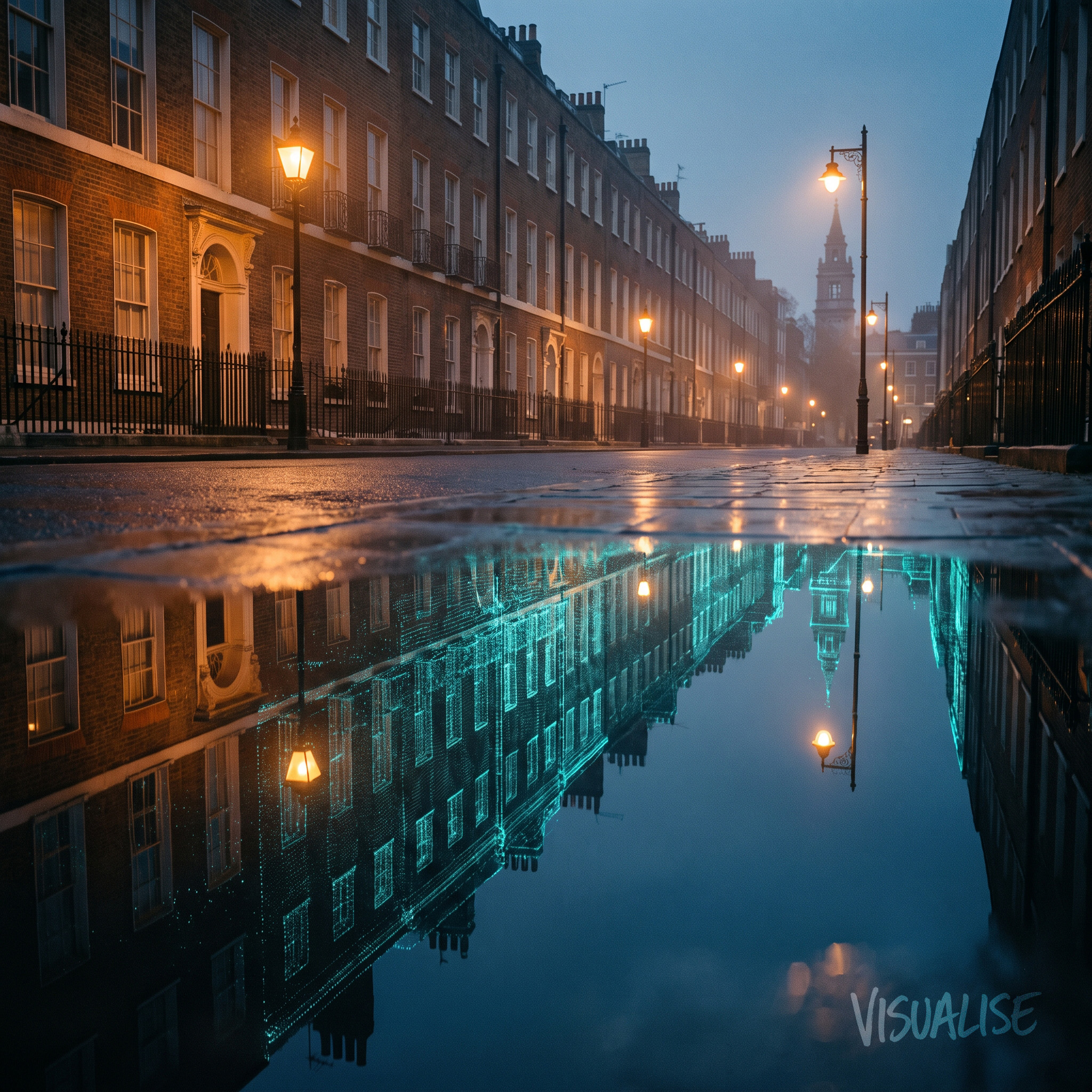
The World Is Being Copied, One Scan at a Time
This month Niantic Spatial – the company spun out of Pokémon GO – unveiled a global 3D mapping platform. Part of it is built on a remarkable dataset: around 30 billion images its players captured over the years, largely while chasing cartoon monsters around their neighbourhoods. The company is refreshingly blunt about the prize, describing its mission as mapping “the 80% of the economy AI can’t see”.
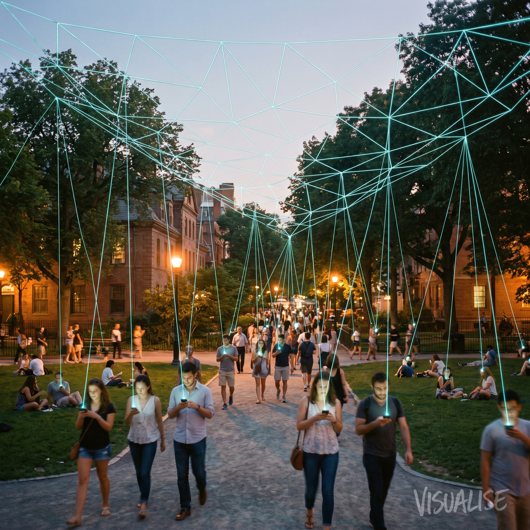
The mechanism is elegant. Its consumer app, Scaniverse, turns any smartphone into a capture device, letting anyone generate a detailed 3D model of a space in minutes. Every scan can feed a visual positioning system – the layer that lets a machine work out precisely where it is in the physical world, far more accurately than GPS. Niantic is not alone in this. Digital twins are spreading fast, from Singapore’s model of all its public roads to stadium twins being built for the 2026 World Cup. The 3D record of the physical world is becoming one of the most valuable datasets in computing, and most of it is being gathered as a by-product of something else.
A Scan Is Not Neutral Data
We scan spaces for a living at Visualise – volumetric capture, photogrammetry, digital heritage – so we will say the part that rarely makes it into a press release. A 3D scan of a place is not neutral data. It is a copy of somewhere real, and whoever holds that copy controls how the place appears in every AR layer, game and AI system built on top of it. Control the map and you control the territory’s digital future.
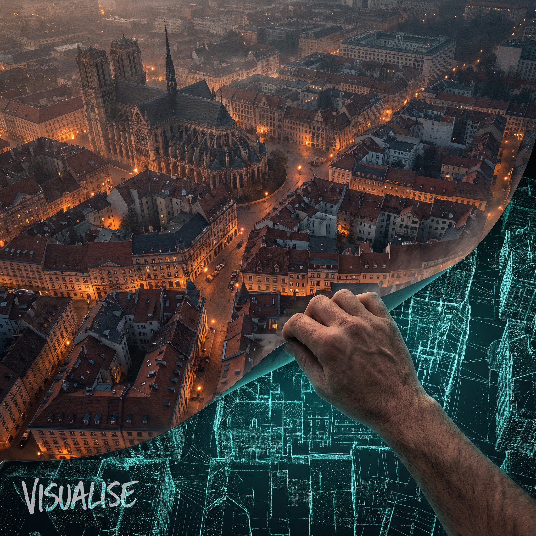
To its credit, Niantic points out that its data collection was opt-in and anonymised, with GDPR-level protections applied. That matters, and not every company behaves the same way. But there is a wide gap between “opt-in to play a game” and “consent to become the substrate for a commercial world model”. The people whose streets were walked, and the public buildings that were captured in the background, almost never had a say in who would ultimately own the result. When the value of a dataset only becomes clear years after it was gathered, consent given for the original purpose does not stretch to cover the new one.
This is the ethical heart of spatial computing, and it is arriving faster than the debate about it. We spent the last decade arguing about who owns our text, our photos and our search history. The 3D scan of the physical world is the next enclosure, and it is happening with far less scrutiny.
What This Means for Brands, Creators and Public Institutions
For brands and creators, the practical lesson is to ask where your spatial assets live. If you commission a 3D capture of a store, a venue or a product, the ownership and licensing of that model is now a strategic question, not a technical footnote. The scan you pay for today is an asset that will be reused across platforms you cannot yet name.
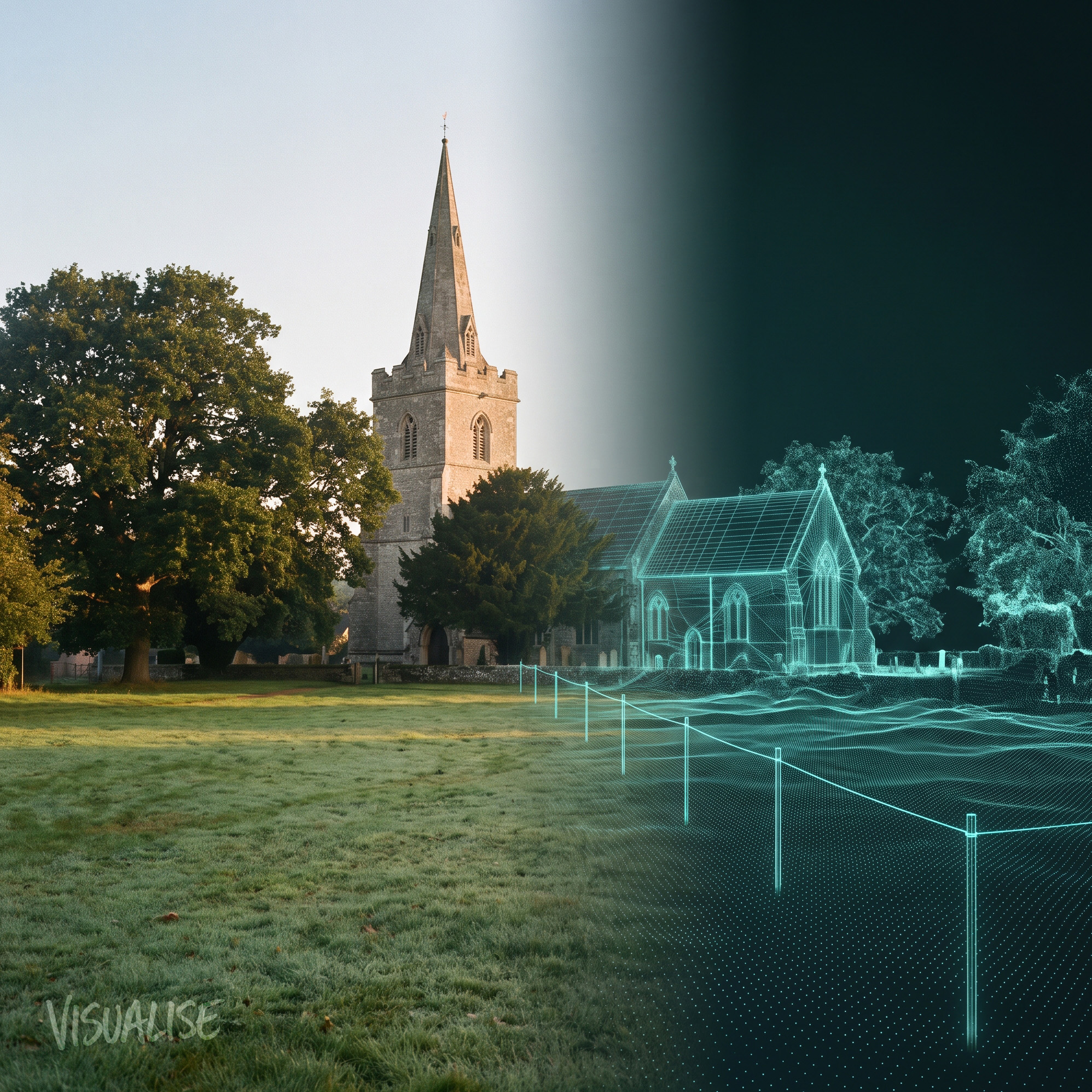
For public institutions, the stakes are higher. In January the UK government committed £1.5bn to culture over five years, including £600m for national museums and £230m for heritage. A great deal of that work will, rightly, involve digitisation – capturing collections and buildings so they can be shared, studied and preserved. Our worry is a simple one: we risk pouring public money into restoring the building while the digital twin of it quietly becomes someone else’s commercial asset. If we are going to make a 3D record of public space, and we should, that record ought to stay public. That is a policy choice, not a technical inevitability – and it is one worth making before the map is finished rather than after.
See It in Action
At Visualise we have built cultural and heritage experiences that only exist because someone captured a real place in three dimensions – and we have learned that the questions of consent, ownership and access matter as much as the capture itself. You can explore our work at visualise.com/work.
If you are considering how immersive technology can preserve, reimagine or extend a physical place – and you want to do it in a way that keeps ownership where it belongs – we would love to talk. Get in touch at visualise.com/contact.
Comments